Hello There,
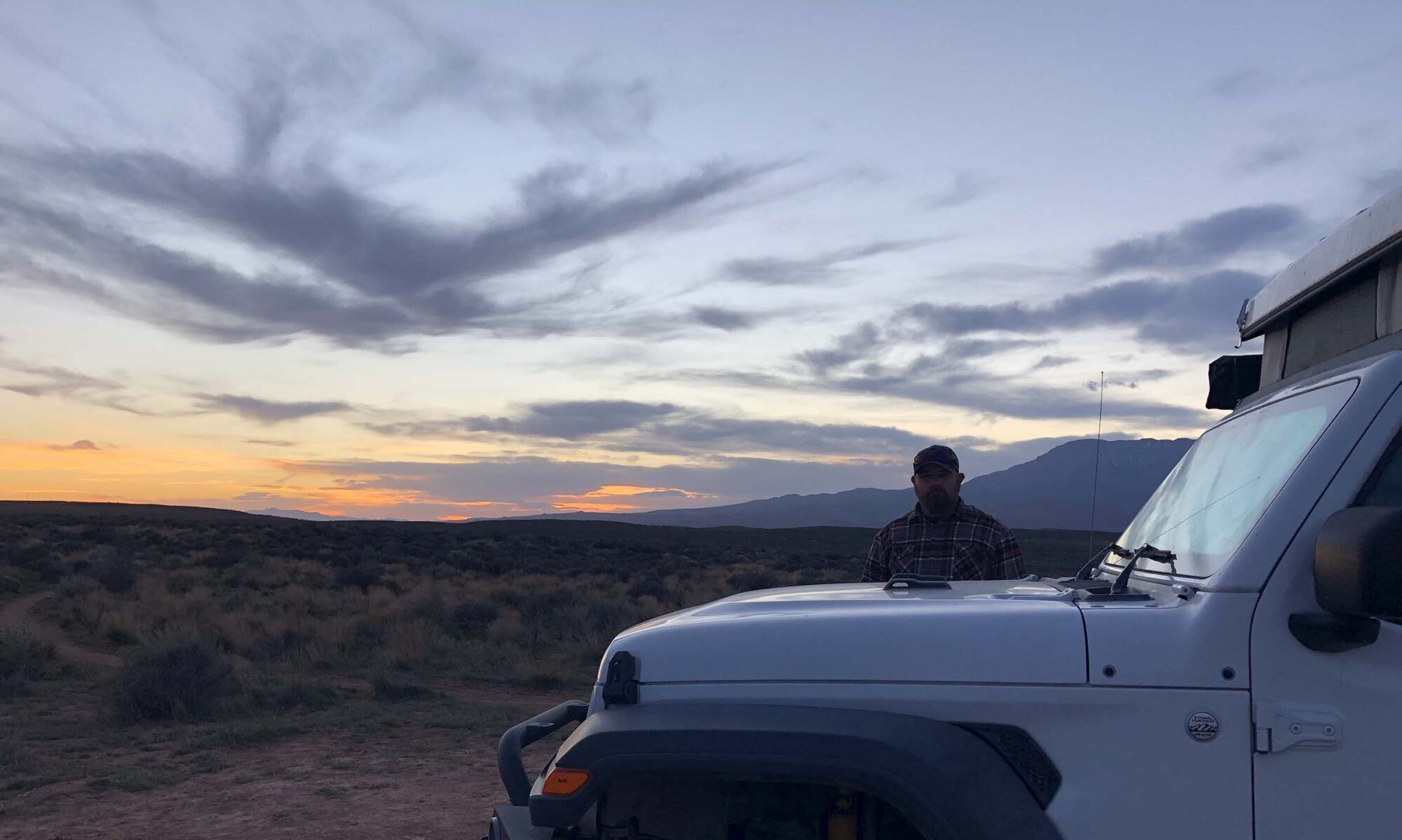
Hope you had a restful evening, as we sure did, tucked back against the Alabama Hills, in Inyo County, California. Woke up to views like this, wind in my hair and sunshine on our face. To think less than 3 months ago, we didn’t even know a place like this existed.

After a quick breakfast (protein bars and apple, who says Jeep Life isn’t luxurious), we are headed back into Lone Pine to map out our next week or so at the Visitors Center. If you are not aware, as we weren’t prior to plotting our current adventure, I did all of the planning, research and mapping for all of our trips (off-road Kyle picked the trail and I handled the pavement portions) you know, team work. But (and that is a very large but here) with a venture the scope of what we are traversing, there is no possible way I could have done my usual insane amount of research and planning. I confess, I like to plan, I like to know where I am sleeping, I like a schedule, I like to know where the gas is, where the food we can eat is, where the exits are incase of emergency (they are here, here, here and here – direct quote from Aladdin’s Genie). With that said, my confession is, I am in a huge personal learning curve to let go and let it happen (You know the song, Let it Go from Frozen, my new mantra, which is hilarious, because in my mind I am so flexible, reality has a way of showing you your true self). Okay – back to it, blah blah blah – self growth update complete.
Now, we had a list (cough, correction – I had a list), of all the places and things we were going to do along California’s Scenic Highway 395. There are hikes, and waterfalls, lakes, hot springs, mining towns, geothermal sites, more hikes, gondola rides to the top of snowcapped peaks all while skirting the eastern side of the Sierra Nevada Mountains. Sounds epic right? Right.
Those were the “plans”, reality set in about 45 seconding into speaking with the Ranger manning the Lone Pine Visitor Centers desk.
Hikes, yup you can do that, trail opens in June.
Mining Town, yup, you can do that, road opens in mid-April.
Geothermal Sites, sure thing, those are great, wouldn’t want to miss them, closed now, but come on back near the end of April, closer to May and you will have more things to see than you have time to see them.
Whaaaaaat? But, I looked this all up, this is the actual part of the trip that I researched, like I knew what we were doing and where we were going and it is all – closed.
No, no, don’t panic said Ranger Guy, You can drive the June Lake Loop, that road opened two days ago, you can visit Mono Lake and see the Tufa’s, and Hot Springs, you can visit those, the roads are mostly open, so you should be okay.
I venture the question, I researched all of this and the internet said these are all usually open in early March, did I plan our trip all wrong? (See the part of me needing to grow here was fighting our new reality- just saying).
Ranger Guy, kind smile on his face that reached all the way to his grey/blue eyes, said, no this year we are having a much colder spring and it just isn’t going to arrive until next month or so.
We leave with very nice maps and an extremely truncated scenic itinerary. Our list of 25 down to 4 (I am not joking – snip snip – chop chop).
With this we return to Alabama Hills, Ranger Guy set us off with a mission to see Cyclops Rock, which takes us a bit farther back within the area and will afford us a more private camp for the night. There we (meaning me) can regroup as HWY 395 was to take us a week (or more) to explore and now we can do the whole thing in a days short drive (25 to 4 cuts out a lot of travel time).
We head back and are blown away at the rounded rock formations seated beneath the jagged peaks of Mount Whitney in the Sierra Nevada’s. There is a driving tour where you can explore old film sites, I cannot recommend this area enough, I mean, look at these views?

After checking out Cyclops Rock, we settle in for night two and the wind is a whipping. Seated in the Jeep, we map out the next few days.
This is going to seem like a whirlwind, but here we go. The scenic drive starts in Bishop, which while cruising through town we discover that being from Phoenix, we have no coats that cut the wind chill AND provide warmth, we have warm coats, and then wind breakers, but we need that magic unicorn layer, called the puffy jacket. Yes, we thought we were fine without a puffy, but we were not. Well I had a puffy, but my puffy didn’t keep the wind out, you were nice and warm, until a gust of pure ice cold wind cut round and poof, it seemed you had no jacket on at all. We stop off at Mammoth Mountaineering Supply & Gear Exchange, which is located in an old bank building. Now, as a reference, people who live in Bishop and the surrounding area and wearing shorts, t-shirts, sandals and sunglasses. We are in jeans, socks, layers of shirts and the equivalent of Arizona winter jackets.

Here is Kyle styling in his new puffy. I am going to try to tuff it out with my puffy, this wind cannot last forever.

Now, that we are properly outfitted, back on the road. First stop Bodie, a Historic Mining Town located in the northern part of HWY 395, we are heading up, then going to drive south seeing the sites. It is a lovely road and the views of both the Sierra Nevadas and the surrounding areas are sites we have never seen. We are chatting about where the turn off’s are for the things we are going to stop at on the way back down. Now, the Ranger said, Bodie was closed, BUT, the internet said Bodie was open, so we are going to see if we can get in, because that place, looks amazing to walk around, and if we can go there, that would be truly wonderful. Signs on the turn-off don’t say closed, we are hopeful, round a bend, gate; locked and closed. Ranger Guy 1 – Internet 0.
The sun is shining and it is lunch time, so we decide to picnic near the gate, there is a large flat area that will work just perfectly. While making sandwiches, a guy with a huge work truck lumbers up to the gate, gets out, unlocks it, then drives through, locks it up and is on his way. Bet next week that place will be open. We eat our lunch and while we are driving out, coming at a good clip up the road, is a Sherif, hauling booty towards the area we just left. Sherif cranes his neck as we drive out and we both go, bet you he was coming to shoo us away. Ha, the worker guy called the Sherif on us. Shame on those lunch eaters, and at a rest area with a bench and everything. Oh how we laughed. Now heading out the way we came, southbound on HWY 395, we stop at the Mono Lake overlook. Here is the view.

We take the gravel road to the South Tufa Area, where you park and then can walk to see the most amazing things; Tufa’s. What is a Tufa, well we didn’t know either. Tufa’s are a chemical reaction underwater, when calcium-rich freshwater springs seep up into the lake that is rich in carbonates (like baking soda), resulting in calcium carbonate or limestone! Isn’t that cool, they blinded me with science. Like seriously, why don’t kids build that in a fish tank over the paper mache volcano’s. Way cooler. Here they are, the ones visible above the water level are due to the water level decreasing, but have no fear, that Mono Lake is still happily at it, making new Tufa’s all the time.

After Mono Lake, we scoot a little north, take a left and are able to drive the June Lake Loop, which also just opened a few days before. June Lake is a whole recreation area, for all seasons, the entire loop road does close due to snow, etc, but I can only imagine how busy and popular this area is during high season. It has 3 bodies of water, Skiing, horseback riding, hiking and mountain biking trails. A destination all unto itself, we here are not going to do it any true justice for all June Lake has to offer, we are simply able to drive the scenic road and see what we can see. Boy were we in for a treat.
First you travel along and the terrain is similar to high desert, sandy mountainsides with small scrub brush and rolling hills, that as you climb lead to Great Lake Reservoir.You just turn a corner in the road and there to the left, is this beautiful blue reservoir banked against sand and sunshine. There was no overlook to grab a photo, and it snuck up on us, water level seemed low, but the couple who hiked down the closed road to bathe in the sunshine appeared to be having an early summer day in March. The road follows the reservoir up, and as you climb the terrain changes, not even 10 minutes from the bright banks of Great Lake Reservoir, you are among Aspen trees and snow.

Thats right, you didn’t read that wrong, we didn’t see it wrong either. Snow. I say at the next turn-off lets stop and look around, as timing would have it, that was the Silver Lake parking lot. Why did we stop? Because in the 10 minutes, besides snow, Silver Lake was still frozen, like skate on it, throw a rock and it won’t sink or even dent the ice, frozen. Here it is, we were flabbergasted, to say the least. How is the reservoir low and Silver Lake frozen? California, you are bonkers.

After wondering at Silver Lake’s wintery hold out against pending spring, we are back on June Lake Loop, heading towards its namesake. Driving through the Aspen, now turning more into Pine trees, climbing even higher in elevation, we round a corner and there is a Ski Area, June Mountain Ski Area to be specific.
Me: Is that a Ski Lodge?
Kyle: Looks like it.
Me: Did we know this was here?
Kyle: Nope, but we didn’t really look at that map.
Me: Let me get this straight, we have hot reservoir, frozen lake and now a skiing?
Kyle: Guess so.
Me: California is funny, how do they do all that not even 15 minutes from each other?
But wait, as we are ogling the ski area, it’s lifts and happy patrons, we round the corner and peeking through the tree line is June Lake, with a sandy beach! Yes, that is right. Sandy Beach, people in bathing suits, paddle boarders, swimmers (not many, but people were in that water), floating inter tubes, beach. We scooted through town, which looked quaint and friendly, didn’t see the turn-off to get to June Lake (sorry no picture of that either, I am sure if goggled it will show a much better view than I could have caught). Then, as swiftly as we entered the Loop, we were queuing up to return onto HWY 395.
We drove past Mammoth Mountain Ski Area and Mammoth Lakes, and turned on Benton Crossing, as we had a date with a wild Hot Spring. After being so cold and windy, we were looking for a soak and Ranger Guy, told us of a great local spot called Shepherd Hot Springs. It wasn’t supposed to be as busy as the many others which would give us the best chance of having to share with only a few instead of the masses.
Driving east, it is a flat grassland, with little vegetation, we turn onto the dirt road, graded and a little bumpy, follow the gps and after climbing a small hill, we descend towards the spring. There are people already there, a tent camper and a couple of Van’s but we find a back in parking spot and are all set. After dinner, we take out our propane fire pit, because it is cold, the low tonight is going to be 20 degrees.

After heating up a little and enjoying Kyle’s fire pit craftsmanship, yes he built that Ammo Can Fire Pit himself (what a guy I tell ya, I am a spoiled girl), we snuggle into the tent with plans for a sunrise soak.
Morning is breaking, we are all set in our swimsuits, slippers on, towels in hand, we make it to the spring, steam is rising from the small tub, and as the other campers leave, we are given the gift of the hot spring all to ourselves. Watching the sunrise across the field and bask in the wonder of our new lives. Today we begin to travel north east to Tahoe, where we will strategize the next leg of our adventures.

See you all next week.